Leaf Peepin’: Good for your Heart & Soul
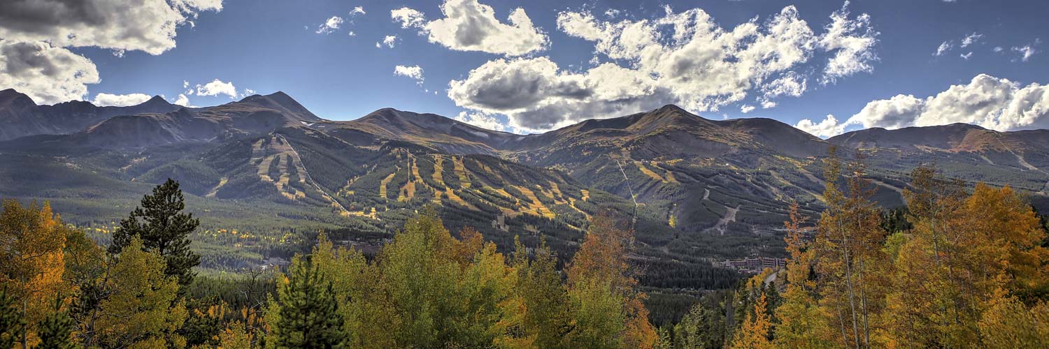
What better way than to keep your heart and your soul healthy than to take in the best of what fall in the high country has to offer!! Cooler temperatures, fewer crowds, and GORGEOUS foliage… what more could you ask for? Every year around this time, Summit County gets taken over by yellow, orange, and red hues that radiate throughout town. No matter how you prefer to get around – bike, car, or the good old-fashioned way by foot – leaf-lovers can discover golden foliage all over town! Check out a few of our favorite spots in Breckenridge to do some leaf peepin’!
BY FOOT
- French Gulch Road to Sallie Barber Mine |■
- Distance:6 Miles
- Trailhead: French Gulch Road Trailhead
- Overview: Beautiful vistas, fall colors, and abundant wildlife. This is a great hike that is serene and easy to navigate due to the fact it is not over-populated. The trails of French Gulch pass through Breckenridge’s “Golden Horseshoe,” one of Colorado’s most abundant mining regions. The initial strikes here in 1859 gave birth to Breckenridge. For most of the next century, the town’s fortunes were largely driven by the Golden Horseshoe’s output. Dozens of mines were active here at one time or another. History buffs can opt for a guided hike with the Breckenridge Heritage Alliance.
- For more information, please click here.
- Trails at Carter Park | ■◆
- Distance: Multiple trails / distances.
- Trailhead: Carter Park is the hub for a variety of trails that segment into the White River National Forest, so you will have plenty of options!
- Overview: This is a short-and-sweet hike up to the trailheads at Carter Park; great for anyone who might be short on time. Once you get to the top of the stairs, you will be rewarded with panoramic views of the Tenmile Range and all its beauty. There’s also a little bench at the top so you can sit, catch your breath, and relish the views. This is an ideal option since it is walking distance from town and is not a huge commitment if you have children. If you want to keep hiking, go for it! Start on one of the trail heads at the top of the stairs. Watch out for bikers and remember they have the right-of-way!
- For more information, please click here.
BY BIKE
- Aspen Alley | ■
- Distance:3 Miles
- Trail Type: Singletrack
- Location: Breckenridge
- Average Grade: 8%
- Location: Breckenridge
- Overview: Aspen Alley certainly lives up to its name; it’s one of the most iconic mountain biking trails in Breckenridge! This intermediate downhill trail is lined with aspens and is a great way to take in all the beautiful fall colors. Biking through the “tunnel” of Aspens is an experience like no other. While this trail is two directional, we highly recommend treating it as a downhill only trail. It is rated blue, so we would not recommend this for beginners.
- For more information, please click here.
- Breckenridge Flumes Loop | ■
- Distance:5 Miles
- Trail Type: 100% Singletrack
- Average Grade: 3%
- Location: Breckenridge
Overview: Take the whole family on an adventure; this is a great intermediate kids route! The Flumes Loop is a combination of trails that will take you through the Highlands neighborhood in Breckenridge and provide majestic mountain views – a perfect option for beginners. This is a multidirectional trail and is extremely well-marked.
- For more information, please click here.
BY CAR
- Boreas Pass Road | #1 Fall Foliage Drive
- Elevation: 11,482 ft
- Distance from Breckenridge: Starts at the south edge of town
- Directions: This is THE drive to do in Breckenridge to see the beautiful fall foliage. It’s a popular route for a reason! Take Hwy 9 towards Blue River and turn left into Boreas Pass Road. Keep following this road. You will wind through some neighborhoods and end up on a dirt road that will take you to the top of the pass. If you keep going past the top of the pass, you will end up at the small town of Como. From there you can take Hwy 285 toward Fairplay, and then take Hwy 9 back north to Breckenridge.
- Scenic Stopping Points:
- Bakers Tank (on the left side of the road)
- Black Powder Pass (at the top of the pass)
- For more information, please click here.
- Loveland Pass Loop | #2 Fall Foliage Drive
- Elevation: 11,990 ft
- Distance from Breckenridge: 37 minutes, 23.3 miles
- Directions: This is a breathtaking drive any time of year. From the winding roads, to the cascading landscapes, the aspen trees take over during the fall in a mesmerizing fashion. From Breckenridge, head southwest on Hwy 9, turn right onto Swan Mountain Road (this is a beautiful drive as well!). Turn right onto Hwy 6 which will lead you past Keystone and Arapahoe-Basin, to the top of the Continental Divide. Be careful – there are no guard rails. From the top, follow the road down Loveland Pass back to I-70. Head West on I-70 to bring you back to Summit County and Breckenridge!
- Scenic Stopping Points:
- Top of the Continental Divide
- For more information, please click here.
